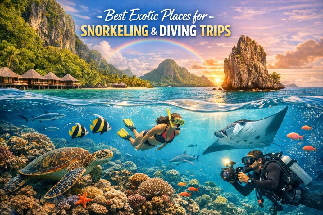
Raja Ampat, Indonesia
Located in the westernmost part of Indonesia’s Papua province, Raja Ampat comprises more than 1,500 small islands, cays, and shoals surrounding the four main islands of Waigeo, Batanta, Salawati, and Misool. Positioned within the Coral Triangle, a region recognized by marine scientists as the global center of tropical marine biodiversity, Raja Ampat holds an exceptional concentration of coral and reef fish species. Surveys conducted over the past two decades regularly document more than 600 species of hard coral and over 1,500 species of reef fish, representing a substantial proportion of all known coral species worldwide. This biological concentration is linked to the region’s complex oceanography, nutrient flows, and varied underwater topography.
The underwater environments of Raja Ampat include fringing reefs, barrier reefs, mangrove systems, seagrass meadows, and steep drop-offs. These habitats support species ranging from pygmy seahorses and nudibranchs to reef sharks, manta rays, and large schools of fusiliers and trevallies. In many areas, coral cover remains high compared to global averages, although conservation authorities continue to monitor the impacts of climate change, fishing pressures, and tourism growth. A network of marine protected areas has been established, supported by local communities and regional authorities, to regulate fishing practices and manage visitor access.
Diving and snorkeling conditions vary by season, but water temperatures generally remain between 27°C and 30°C throughout the year. Visibility often exceeds 20 meters, although plankton-rich currents can reduce clarity while simultaneously attracting larger pelagic species. Many dive sites are characterized by strong currents, making them suitable primarily for experienced divers. Drift dives along reef walls are common and provide exposure to extensive coral formations and dense fish populations. Snorkeling is also productive in sheltered lagoons and shallow reefs, where sunlight highlights the structural diversity of coral gardens.
Infrastructure in Raja Ampat has developed gradually, with a focus on smaller eco-lodges and liveaboard vessels rather than large-scale resorts. Access typically involves flights to Sorong followed by boat transfers to various islands. Local regulations may require visitor permits, and conservation fees contribute to reef management efforts. While facilities continue to improve, the region’s relative remoteness remains a defining aspect of travel planning and logistics.
The Great Barrier Reef, Australia
The Great Barrier Reef extends for approximately 2,300 kilometers along the northeastern coast of Australia, encompassing nearly 3,000 individual reef systems and about 900 islands. Recognized as a UNESCO World Heritage site, it represents the largest coral reef ecosystem on Earth. Its size and ecological breadth support an extensive array of marine species, including more than 1,600 species of fish, 400 types of hard coral, and numerous species of sharks, rays, marine mammals, and sea turtles.
The reef system includes fringing reefs close to the mainland, mid-shelf reefs, and outer barrier reefs exposed to the Coral Sea. These varied zones create distinct ecological niches. Shallow reefs are often accessible to snorkelers, while deeper outer reefs attract divers seeking encounters with pelagic species. Seasonal patterns influence wildlife observation. For example, migrating humpback whales are present during winter months, while certain reef fish species spawn in large aggregations tied to lunar cycles.
Coral bleaching events associated with elevated sea surface temperatures have affected sections of the reef in recent years. Scientific monitoring programs coordinated by Australian research institutions track coral health, recovery rates, and species distribution. Management strategies include zoning plans that regulate fishing, shipping, and tourism activities across different sectors of the marine park. These measures aim to balance economic interests with ecological sustainability.
Access points such as Cairns, Port Douglas, and the Whitsunday Islands function as primary departure hubs for day trips and multi-day excursions. Operators range from small dive charters to large vessels accommodating significant passenger numbers. Weather conditions are generally stable from June to October, while summer months may bring higher water temperatures and increased rainfall. Marine stinger presence also varies seasonally, requiring protective measures in certain areas.
The Blue Hole, Belize
The Great Blue Hole is a large marine sinkhole located near the center of Lighthouse Reef Atoll, approximately 70 kilometers offshore from mainland Belize. Measuring about 300 meters in diameter and over 120 meters deep, the formation originated during periods of lower sea levels when the area functioned as a limestone cave system. As sea levels rose, the cave roof collapsed, creating the circular depression visible today. The site gained international recognition through exploration efforts that documented its geological features.
Unlike shallow coral reefs with abundant fish populations, the Blue Hole is primarily valued for its geological structures. Divers descending along the walls encounter stalactites and stalagmites formed during prehistoric periods. These formations provide insight into past climatic conditions and sea-level changes. At greater depths, water clarity can remain high, though light penetration decreases significantly. Marine life includes Caribbean reef sharks, groupers, and occasional hammerheads, but density typically varies with depth and season.
Dives at the Blue Hole often require advanced certification due to depth and decompression considerations. Operators generally conduct briefings addressing descent rates, air management, and nitrogen exposure. Because of its offshore location, excursions depend on calm sea conditions and involve boat journeys of several hours from coastal departure points such as Belize City or Ambergris Caye. Many visitors combine a Blue Hole excursion with dives at nearby reefs known for higher coral density and fish abundance.
The surrounding Belize Barrier Reef Reserve System, also a UNESCO World Heritage site, encompasses multiple protected areas. Conservation initiatives focus on regulating fishing practices, reducing coastal pollution, and maintaining reef resilience. Tourism plays a significant role in the national economy, making environmental management a central policy priority.
The Red Sea, Egypt
The Red Sea, situated between northeastern Africa and the Arabian Peninsula, is notable for its clear waters, extensive coral reefs, and relatively high salinity. Egyptian coastal destinations such as Sharm El Sheikh, Hurghada, and Marsa Alam provide access to diverse dive sites along the Sinai Peninsula and mainland coast. Coral reefs in this region demonstrate considerable resilience, partly due to unique temperature tolerances developed over long evolutionary periods.
Ras Mohammed National Park, located at the southern tip of the Sinai Peninsula, contains reef walls that descend steeply into deep water. Strong currents bring nutrients that attract schools of barracuda, snapper, and batfish. The SS Thistlegorm wreck, a World War II cargo vessel sunk in 1941, serves as an artificial reef supporting corals, lionfish, and glassfish. Wreck diving is a prominent feature of Red Sea tourism, with numerous historical vessels resting at navigable depths.
Water temperatures range from approximately 21°C in winter to 28°C in summer. Visibility frequently exceeds 30 meters, supporting underwater photography and scientific observation. Though many sites are accessible to beginners, drift dives and advanced wreck penetrations require appropriate training and certification. Liveaboard itineraries operating from ports such as Hurghada enable access to more remote reefs, including the Brothers Islands and Daedalus Reef.
The Egyptian government and conservation organizations have implemented marine parks and diving regulations to mitigate anchor damage and overuse. Mooring systems at popular sites reduce reef contact, and diver briefings emphasize buoyancy control. Ongoing monitoring focuses on coral health, invasive species management, and the long-term effects of tourism growth.
The Galápagos Islands, Ecuador
The Galápagos Islands, located approximately 1,000 kilometers west of mainland Ecuador, form an archipelago of volcanic origin. The convergence of several ocean currents, including the Humboldt and Cromwell currents, introduces nutrient-rich waters that sustain a high level of marine productivity. This productivity underpins a distinctive assemblage of species, many of which are endemic or display limited geographic distribution.
Diving in the Galápagos is often characterized by encounters with large pelagic species. Scalloped hammerhead sharks, whale sharks, Galápagos sharks, and manta rays are frequently observed at sites such as Darwin and Wolf Islands. In addition to these large species, divers may encounter marine iguanas feeding on algae, sea lions exhibiting curious behavior, and flightless cormorants along rocky shorelines. The interaction between cold and warm currents can result in thermoclines, requiring thermal protection even in equatorial waters.
Marine conservation policies in the Galápagos are strict. The Galápagos Marine Reserve restricts fishing activities and regulates tourism through a permit system. Visitor numbers are managed to reduce ecological pressure, and licensed naturalist guides oversee many activities. Liveaboard vessels provide access to remote northern islands, where conditions may involve strong currents and variable visibility, making advanced certification advisable.
Seasonal changes influence species presence. The warmer season from December to May typically offers calmer seas and clearer water, while the cooler season from June to November brings increased nutrient flows, often accompanied by more abundant shark aggregations. Travel logistics generally involve flights to Baltra or San Cristóbal followed by boat transfers.
Palau, Micronesia
Situated in the western Pacific Ocean, Palau consists of more than 300 islands surrounded by barrier reefs, limestone rock islands, and deep channels. Though relatively small in land area, Palau is widely recognized for high water clarity and consistent encounters with pelagic species. Blue Corner, one of its most documented dive sites, features a submerged promontory exposed to strong currents. Divers often use reef hooks to maintain position while observing gray reef sharks, barracuda schools, and eagle rays moving through the water column.
Jellyfish Lake, a marine lake connected to the ocean through subterranean channels, historically allowed visitors to swim among large populations of non-stinging jellyfish. Environmental fluctuations have periodically reduced jellyfish numbers, leading to temporary closures to support ecological recovery. Such management decisions reflect Palau’s broader conservation framework, which includes the Palau National Marine Sanctuary. This sanctuary designates a large portion of the country’s exclusive economic zone as a no-take area.
Additional dive sites, including German Channel and Ulong Channel, are known for manta ray cleaning stations and reef passages. Conditions vary depending on tides, which strongly influence current strength. Water temperatures generally remain around 29°C year-round, and visibility often exceeds 25 meters. Access to Palau typically involves flights to Koror, the main population center and departure point for diving operations.
Palau’s approach to tourism integrates environmental fees, visitor pledges, and regulated fishing areas. Operators emphasize reef-safe practices, including controlled mooring and diver education. The combination of reef ecosystems, strong conservation governance, and manageable visitor numbers shapes Palau’s reputation within the international diving community.
Comparative Observations
These six marine destinations illustrate varied expressions of reef and pelagic ecosystems across the Indo-Pacific and Atlantic regions. Factors such as ocean currents, geological origins, regulatory frameworks, and tourism infrastructure influence both biodiversity and visitor experience. While all six locations support snorkeling and diving, differences in depth profiles, species composition, and accessibility shape their suitability for specific skill levels. Continued scientific research and conservation planning remain essential to maintaining ecological integrity amid climate change and growing global interest in marine tourism.